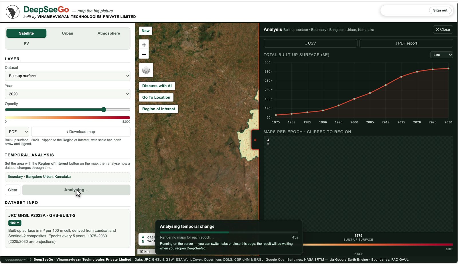
Temporal analysisHow a map layer changed over the years in your region, 1975 to 2030.Built-up surface, volume, land cover, water
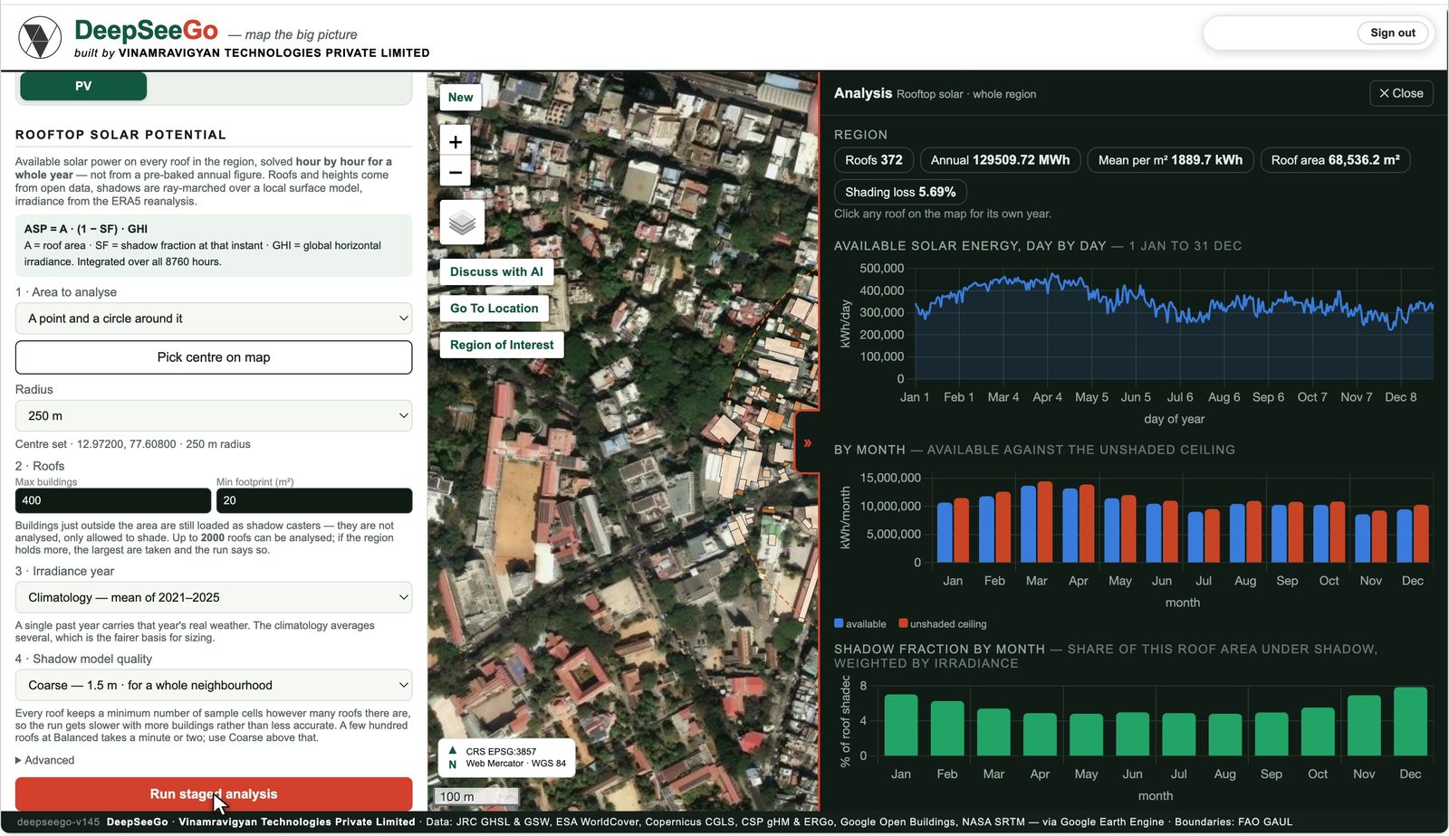
Rooftop solar potentialAnnual solar energy on every roof, solved hour by hour with shading from neighbours.ASP = A · (1 − SF) · GHI over 8,760 hours
Health vulnerabilityHeat, air, flood, people and access, ranked by ward or cell.For city health and disaster teams
Site briefLand cover, climate, air and buildings for one site, in a page.For architects and developers
Zonal analysisZones around lines or points, then statistics per zone.Metro corridors, highways, wards
15-minute walkabilityScore points for the amenities within a walk.OpenStreetMap amenities
Sun & shadowSun path and building shadows at a site, any hour of the year.2.5D buildings
Slope analysisElevation, slope and terrain profile between two points.NASA SRTM
Air dispersionPollutant plume from a source, AERMOD formulation.In development